HURRICANE MICHAEL: Storm nears category 5 as landfall looms
Published 11:10 am Wednesday, October 10, 2018
11:35 a.m. update
Herb Reeves, interim EMA director, said he has received word that Hurricane Michael, a category 4 storm, has begun coming ashore at the Florida panhandle. officials are watching now to see whether it tracks east as expected or continues to move north and brings a more significant local impact. Regardless, Reeves said it is important for residents to take shelter now as sustained winds of 25 to 30 miles per hour and rainfall of 2 to 4 inches are expected. Localized flash flooding is possible with this storm and a westward shift in the storm’s track could bring hurricane impacts locally.
11 a.m. update
Hurricane Michael has intensified yet again with sustained winds of 150 miles per hour recorded, just 7 mph shy of being classified as a category 5 hurricane.
The intensification hasn’t changed Pike County’s situation very much according to interim EMA Director Herb Reeves.
“Right now it’s staying on track until it makes landfall and then we’ll see which way it’s going to head. It should make landfall within the next few hours and we expect Pike County to see the most significant weather impacts later in the afternoon into the night.”
At this point, Reeves said residents should already be prepared for the worst, as sustained winds of 25 to 30 mph and gusts of 50 mph or more are a danger in and of themselves. If the storm travels north further than expected before making it’s projected eastern turn, Reeves said it could bring an even more significant impact on Pike County.
“Residents need to get in a safe place and hunker down,” Reeves said. “Utility crews and emergency responders across the county are on standby to what’s going to happen and respond.”
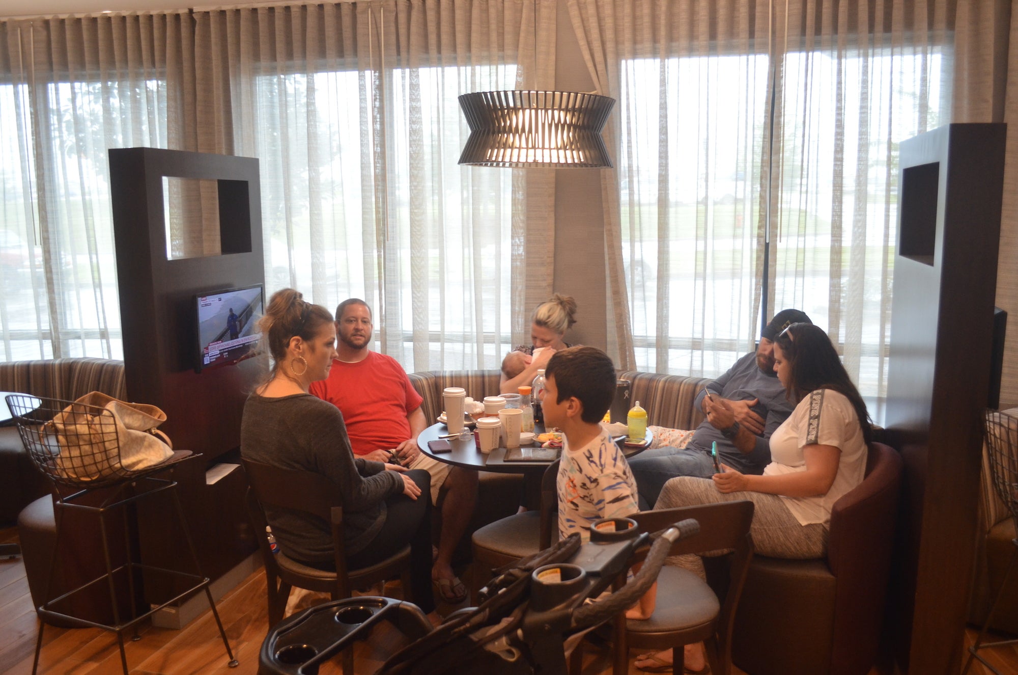
Gathered around a table at the Courtyard Marriott Wednesday morning, the Blasbichler family of Destin were nervously watching the weather on a tableside TV while finishing up their continental breakfast.
“We have 14 people here and seven dogs,” said Ashley Blasbichler. “We came in Monday night. We’re just hoping our homes are not flooded. My mom lives over the bay and she’s already seeing water coming over the seawall. And of course we’re concerned about it knocking trees down and knocking out power. We’re hoping to get home by Friday. It just depends on if the bridges are open and how bad Destin is hit.”
Across the lobby, Kendall Ennis of Panama City stretched out after driving in early Wednesday morning in a last-ditch evacuation.
“I wasn’t planning on leaving,” Ennis said. “I left out at 5:30 a.m. since they upgraded it to a category 4 and they said it was going to strengthen even more and it’s making a direct beeline for Panama City … I was looking on a booking website and every hotel I found with a vacancy, I called and they were actually booked even though it was showing availability online. I got on the phone with someone from customer service and was driving down U.S. Highway 231 telling her different cities to look for available rooms as I went.”
Now that she has found a spot to stay for the night, Ennis said she is hoping to get in a quick nap before continuing to watch and wait as the storm hits.
“There are a lot of old oak trees in my neighborhood,” Ennis said. “I’m more concerned about the wind then the storm surge where I live. I didn’t sleep at all last night; it’s been nerve-wracking.”
Local schools and government offices are closed today due to the storm. Utility crews and first responders are prepared to respond to downed tress, power outages and other emergencies all day. Trash pickup is rescheduled for Thursday.


